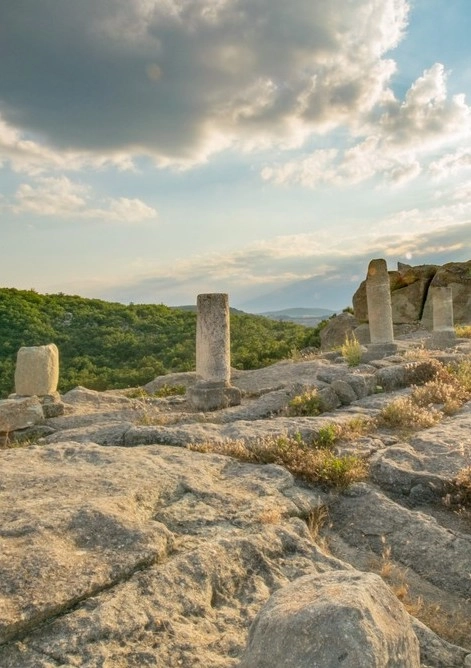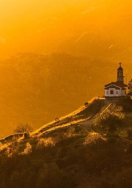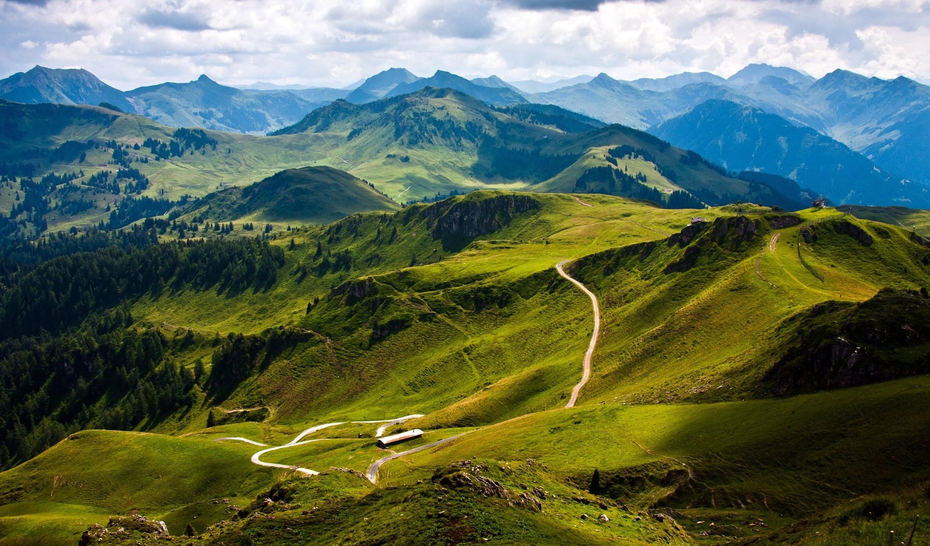
Discover the mystical legacy of the Thracians.
Learn of the times before myths were born.
Meditate at leylines of surging cosmic energy.
Seminars At Location
We invite you on a unique small group experience of exploration, learning seminars and spiritual enlightenment to the forgotten lands of Thrace.
Recent archeological discoveries reveal the remnants of a spiritually and technologically advanced civilization in Europe older than the ancient tales of Mesopotamia. Our seminars are journeys that will introduce you to one of the greatest mysteries of history and bring you to locations of tangible energy with purifying, curing and enlightening properties.
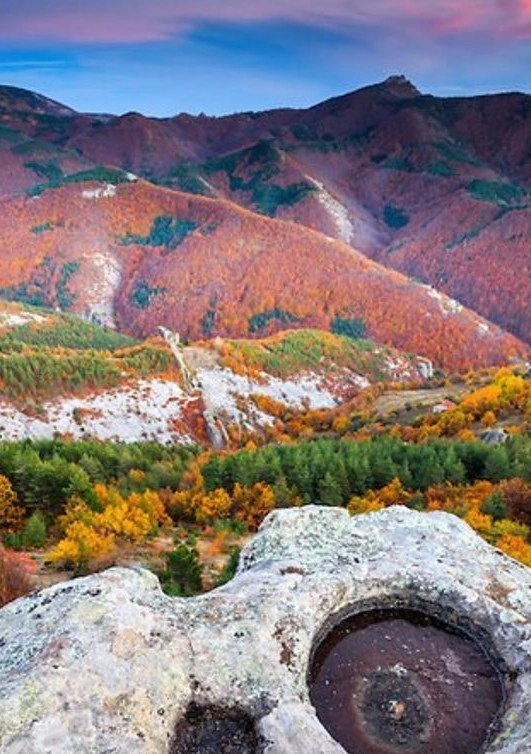
The Mystical Wonders of the Rhodope and Rila Mountains
We shall unveil to you some of the strongest energy centers in the world - Thracian sanctuaries with potent revitalizing power.
Bulgarian Prophets
Learn of the renowned seers and prophets of Bulgaria, gifted with sight beyond measure. You will hear of the prophecies that have come to pass and the visions that yet await.
Our Concept
In 376 / 375 BC the Tribali reached Abdera and savagely ravaged its surroundings. Their army was then led by King Khales. From the region of Sofia and the Upper Struma, he penetrated the Nestos River valley and reached the colony at the head of an army of 30,000 fighters.

Learn about Thrace:
The northern boundary of the Balkan Mountains with the Ante-Balkan follows in large lines the longitudinal faults along the north-vergent thrust structures. One part of the boundary traces the faults of the transverse river valleys, which are very pronounced at the contact of the hard limestones of the Jurassic folds and the less resistant deeply worked tectonic lithological substrate of the Balkan Mountains. Furthermore, in some places the boundary is defined by the young sedimentary fill of synclinal structural depressions.
In its westernmost part, the boundary between the Pre-Balkan and the Balkan Mountains starts from the Belogradchik Pass (570 m) on the border with Serbia and follows the Salak syncline to the east. It then passes through the Prevala saddle (535 m) and continues southeast along the dislocated structures of the Salak syncline and the rectilinear, tectonically determined valley of the Ogosta River. To the east, at the southern margin of the Burzian-Botun structural depression, the boundary has the character of a gradual transition. East of the valley of the Botuń River, along the southern periphery of the Vračanskoye field and the foot of the northeastern rectilinear structurally determined slope of the Vračanskoye Mountains, it shows a marked morpho-tectonic distinctness. At the village of Lyutibrod, the morpho-tectonically well-defined boundary between the two zones, crossing the valley of the Iskar River, follows the northern foot of the very pronounced morphosculpture at Ritlite. It then follows the southern fence of the Botevgrad valley and is successively marked to the east by transverse breaks in the valleys of the Malki Iskar (at Etropole) and Cherni Vit (at Divchovoto) rivers.
After the valley of the Cherni Vit river the border between the Middle Pre-Balkan and the Middle Stara Planina begins. The boundary successively crosses the valleys of the rivers Beli Vit (at Ribaritsa), Beli Osam (at the village of Beli Osam), Cherni Osam (south of the Troyan monastery), Vidima (at the town of Apriltsi), Rositsa (at the village of Stokite), Yantra River (at Gabrovo), Dryanovska River (at Tryavna), Belitsa River (at the village of Voneshta Voda), Zlatarishka River (south of the town of Elena) and Stara River (at the village of Stara Reka), where the border with the Middle Balkan Mountains ends.
In its eastern part, the border between the Pre-Balkan and the Stara Planina is traced along the foot of the tectonically conditioned fence of the Gerlovska hilly valley to the south and along the northern foot of the Vrbik Mountains it reaches the confluence of the two constituent rivers of the Kamchia - the Golyama Kamchia and the Luda Kamchia at the village of Tsonevo. Then, along the northern foothills of the Kamchia Mountain, the border reaches the Black Sea at the mouth of the Fandaklia River, and in this section the Balkan Mountains border directly on the Danube Plain.
The western part of the Stara Planina has a north-west-south-eastern extension, being bounded on the west by the valleys of the rivers Targovish Timok (a right tributary of the Beli Timok) and Visocitsa (Komstica, Temska River, a right tributary of the Nishava) in Serbia, and on the east reaching the Zlatica Pass. In the direction from northwest to southeast, the western part of the Balkan Mountains with its complete chain ridge up to its highest peak Mijur (2168 m) along the locally named mountains - Svetiņikolska and Chiprovska - shows a gradual rise. Further southeast along the ridge of the Berkovskaya Mountains to the distinctive Petrochanskaya Saddle (1420 m), the cone-shaped hull of Mount Kom (2016 m) stands out. To the east of Petrohan, its ridge branches off and, together with the reduced elevation east and west of the gorge valley of the Iskar River, its orographic extent is greatly extended. It is bounded to the west by the valley of the Burziya River, the Petrohan Saddle and the valley of the Nishava River, and to the east by the Botevgrad and Etropole valleys and the Zlatica Pass.
Within this wide orographic range, the mountains of Vrachanska (1482 m), Koznitsa (1785 m), Ponor (1479 m) and Mala Planina (1234 m) alternate from north to south up to the valley of the Iskar River. They are successively dissected by the Druzev saddle (863 m) and the deep valleys of the Proboynitsa and Iskretska rivers. To the west, Mala Mountain is closely connected with the hump of Chepan Mountain (1206 m). The orographic extension and branching to the east of the valley of the Iskar River in the north-south direction is represented by the Rzhana (1637 m), Golema (1588 m) and Sofiyska (1295 m) mountains. They are distinguished by the deep valleys of the Gabrovnica and Batuliiska rivers, and their ridges to the east converge at the common orographic junction of the Murgaš Mountain (1687 m). To the east of the Vitynia Pass rise the easternmost parts of the Western Balkan Mountains - the Bilo and Etropol Mountains.
The western part of the Stara Planina occupies an area of 4196.9 km2, which represents 36.19% of the total area of the Stara Planina. Its average altitude is 849 m. The largest percentage - 49.44 - is occupied by low mountain lands (altitude between 600 and 1000 m), followed by mid-mountain lands - 27.15%, and the smallest - 1.79% - is occupied by high mountain lands with altitude above 1600 m. The length of the Western Balkan Mountains is 190 km and its width varies from 15 to 50 km.
